Live I-5 Traffic Reports: Bakersfield, California
Updated: EST
Stay informed with the latest I-5 traffic updates in Bakersfield, California! Our real-time traffic information provides insights into road conditions, including live updates on construction, accidents, and travel delays. With data continually refreshed, you'll receive the most accurate and timely alerts to plan your journey along one of the country's busiest highways. Whether you're a commuter or a traveler, navigate I-5 with confidence and ease, avoiding congestion and minimizing delays.
Real-Time Bakersfield Area Traffic MapReal-Time traffic information and alerts about accidents, police, and hazards Courtesy of WAZE.com
Bakersfield Area Traffic CamerasLive Feeds From the California Department of Transportation (CalTrans)
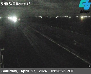
I-5 Northbound South of Route 46
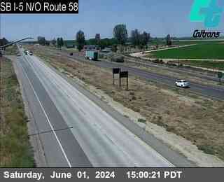
I-5 Southbound North of Route 58
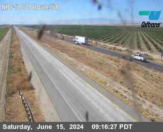
Northbound I-5 South of Route 58
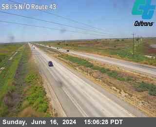
I-5 North of Route 43
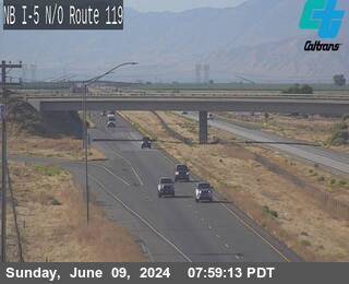
Northbound I-5 North of Route 119
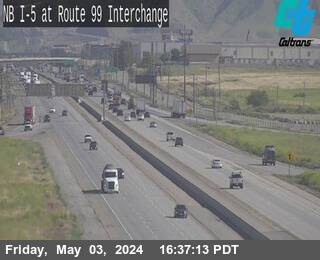
I-5 Northbound at the Route 99 Exit
Bakersfield Area Weather Forecast5-Day Weather Forecast Courtesy of Weather Underground
California DOT TweetsSocial Media Posts From The California Department of Transportation (CalTrans)
California Road NewsLatest Headlines From The I-5 Exit Guide Newsroom

I-5 Multi-Lane Closures in Sun Valley for Bridge Repairs June 8-12

Long Delays Anticipated on I-5 for Cottonwood Creek Bridge Work

I-5 Emergency Repairs Project in Sacramento Begins
Bakersfield Area Insider TipsThe Inside Scoop From Seasoned I-5 Travelers
Truck speed limits are strictly enforced: If you're driving a larger vehicle or RV, know that trucks are limited to 55 mph on the Grapevine, and California Highway Patrol actively patrols. The runaway truck ramps exist for a reason - brakes fail on this grade.
The Grapevine weather can change fast: Check conditions before heading south, especially in winter. This mountain pass can close suddenly due to snow/ice, creating massive backups.
Fill up BEFORE the Grapevine: Gas stations at the base and summit of the Grapevine (just south of Bakersfield) are notoriously expensive. Fill up in Bakersfield proper where prices are significantly cheaper.
Avoid midday summer stops: Bakersfield regularly hits 100°F+ in summer. If you need to stop for food/rest, the early morning or evening will be far more comfortable. The air quality can also be poor, so keep windows up if sensitive.